
Measurements and Errors (Article)
Author: Wyoming Department of Transportation
*Wait a few seconds for the document to load, the time may vary depending on your internet connection. If you prefer, you can download the file by clicking on the link below.
Information
Description: Measurements and Errors (Article) por Wyoming Department of Transportation provides a foundational understanding of measurement principles in surveying. It explains error sources and minimization techniques, essential for accurate topographic data acquisition.
Pages: 9
Megabytes: 0.41 MB
This may interest you
Topography
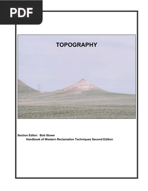
Extension: PDF | 19 pages
Topography por Bob Stowe es una guía práctica para la restauración de terrenos mineros, enfocándose en la forma y función de las laderas. It provides valuable techniques for creating sustainable and diverse landscapes.
Chapter 1 Map Study and Interpretation
Extension: PDF | 12 pages
Chapter 1 Map Study and Interpretation por Himachal Pradesh Agriculture University Palampur introduces fundamental map concepts, types, and interpretation techniques. This concise guide offers essential knowledge for understanding topographic maps and their diverse applications in geographical studies.
Reading Topographic Maps and Making Calculations
Extension: PDF | 16 pages
Reading Topographic Maps and Making Calculations por Honolulu Community College is a practical guide on how to read and interpret topographic maps, focusing on understanding contour lines, estimating slopes, and calculating distances. It's a valuable resource for anyone seeking to enhance their map reading skills and spatial understanding.
Topographic Surveying
Extension: PDF | 107 pages
Topographic Surveying por International Hydrographic Organization details methods for describing coastal features in hydrographic surveys, including land surveying and remote sensing techniques. This chapter offers essential insights for mariners and surveyors alike, enhancing navigation safety and coastal management.
Glossaries of BLM Surveying and Mapping Terms
Extension: PDF | 135 pages
Glossaries of BLM Surveying and Mapping Terms por Bureau of Land Management is a glossary providing definitions of terms used in surveying and mapping, particularly within the context of BLM cadastral surveys. It's a valuable resource for understanding the specific terminology used in land management and resource documentation.